A walk from Holming Beam to Beardown Man Menhir and Back.
Holming Beam to the Cowsic Footbridge
On a cold overcast day in November we set out to visit Beardown Man menhir close to Two Bridges as my partner said she'd enjoyed our previous walk there and it'd been a while since we'd visited the area.
The night before I did a quick scan of the map and chose a route I thought might be interesting enough.
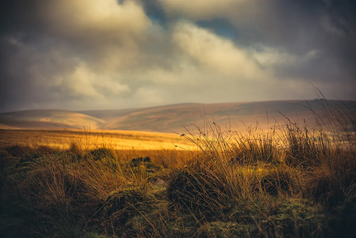
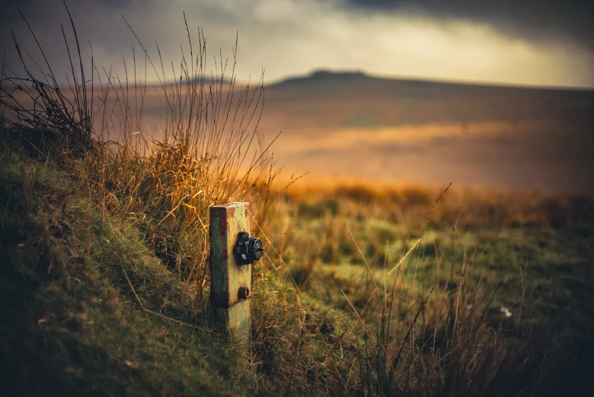
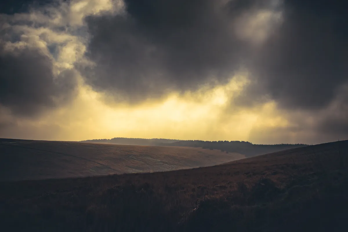
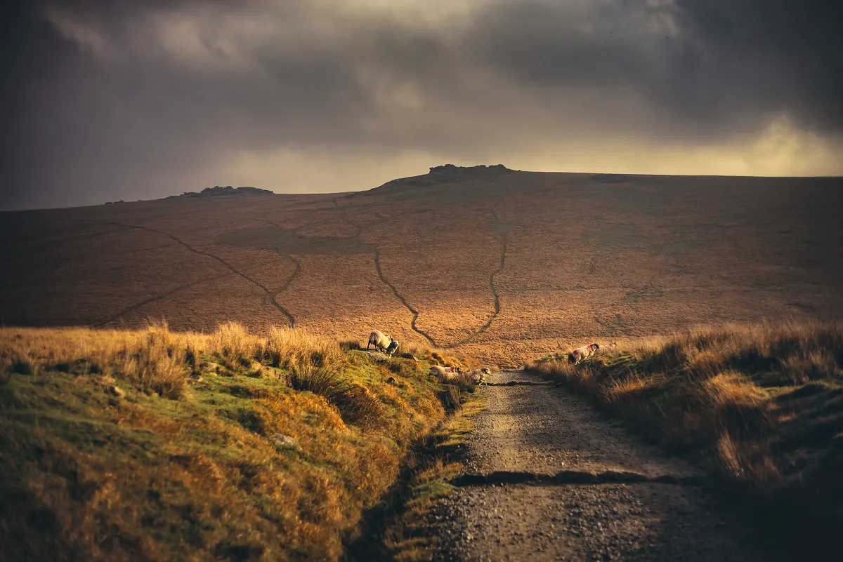
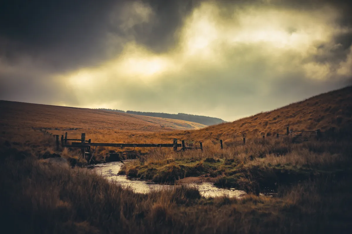
We arrived at the carpark near the Military Firing Range Hut and set off to follow the track along the top of Holming Beam and then drop down to the River Cowsic by the Footbridge. The more adventurous can cut diagonally across from the carpark and straight down to the footbridge if you so desire however it's usually a little soggy and I generally only do that route on the way back once my feet are already wet!
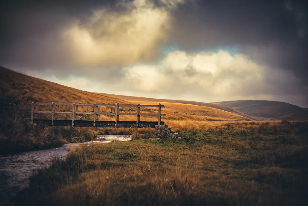
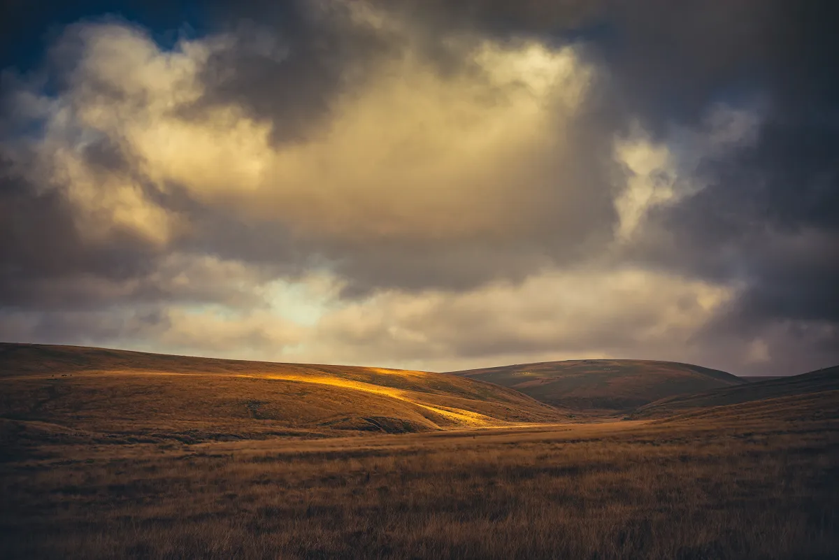
We crossed over the footbridge, stopped to let the idiot puppy collect stones from the river for a few minutes and then headed up to Bearsdown Tors via the granite slab Crossing Points over the Bearsdown Brook. There's a couple of obvious tracks up to the collections of tors that make up the Beardown group but as I wanted to investigate Little Beardown Tor we took the right hand route.
Little Beardown Tor and the Beardown Tors
I was expecting Little Beardown Tor to give me a view out over towards Two Bridges, but I was disappointed and if I'd paid attention to the map, I'd probably have noticed that the ground past the little tor continued to rise for some distance.
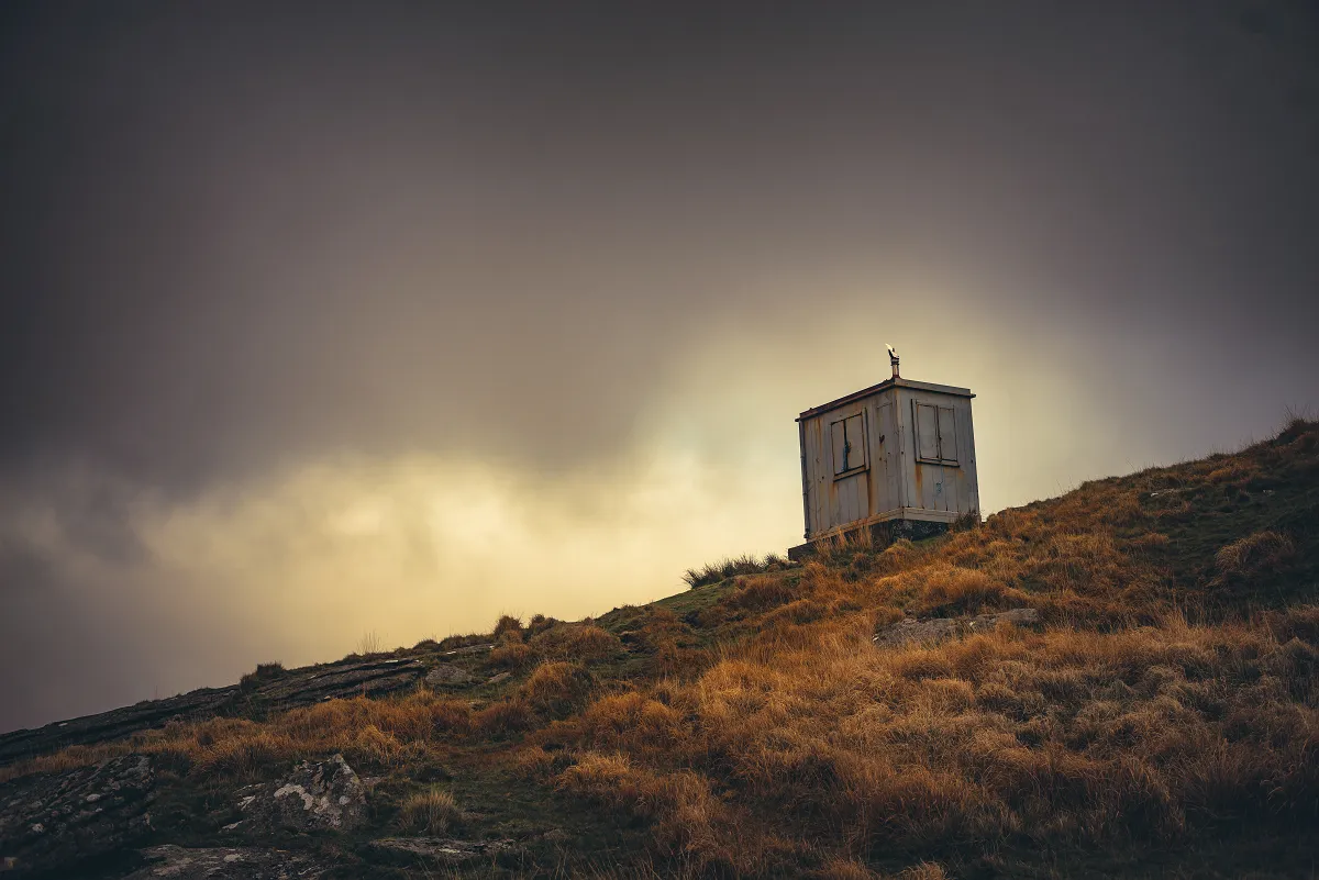
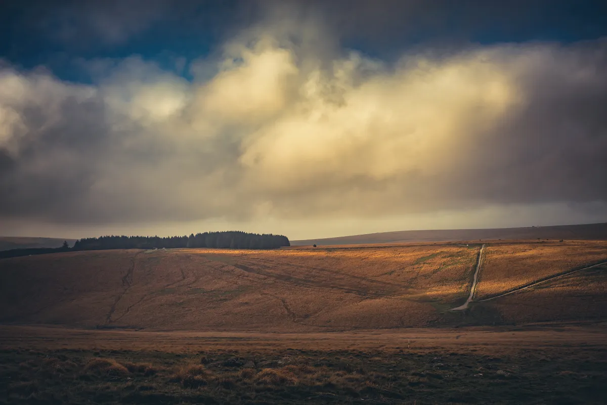
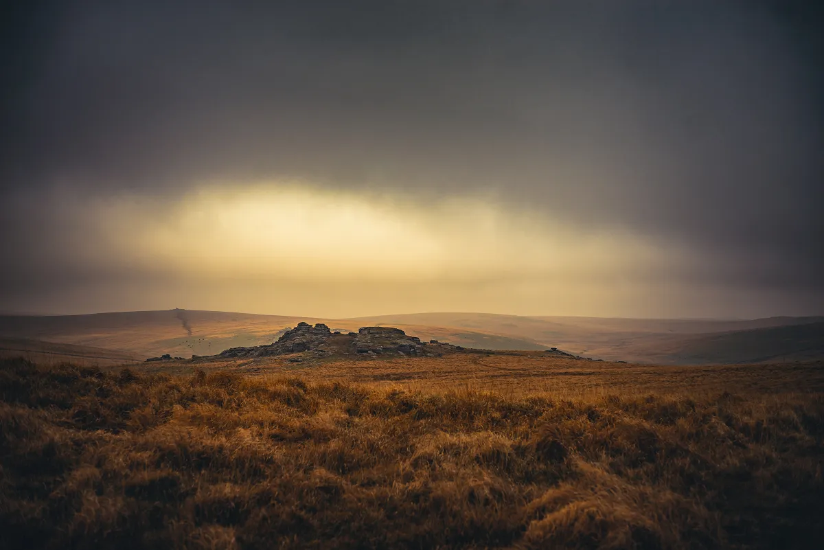
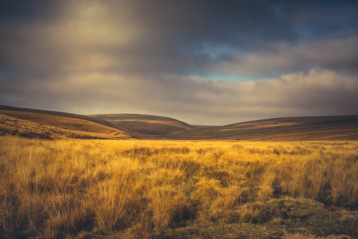
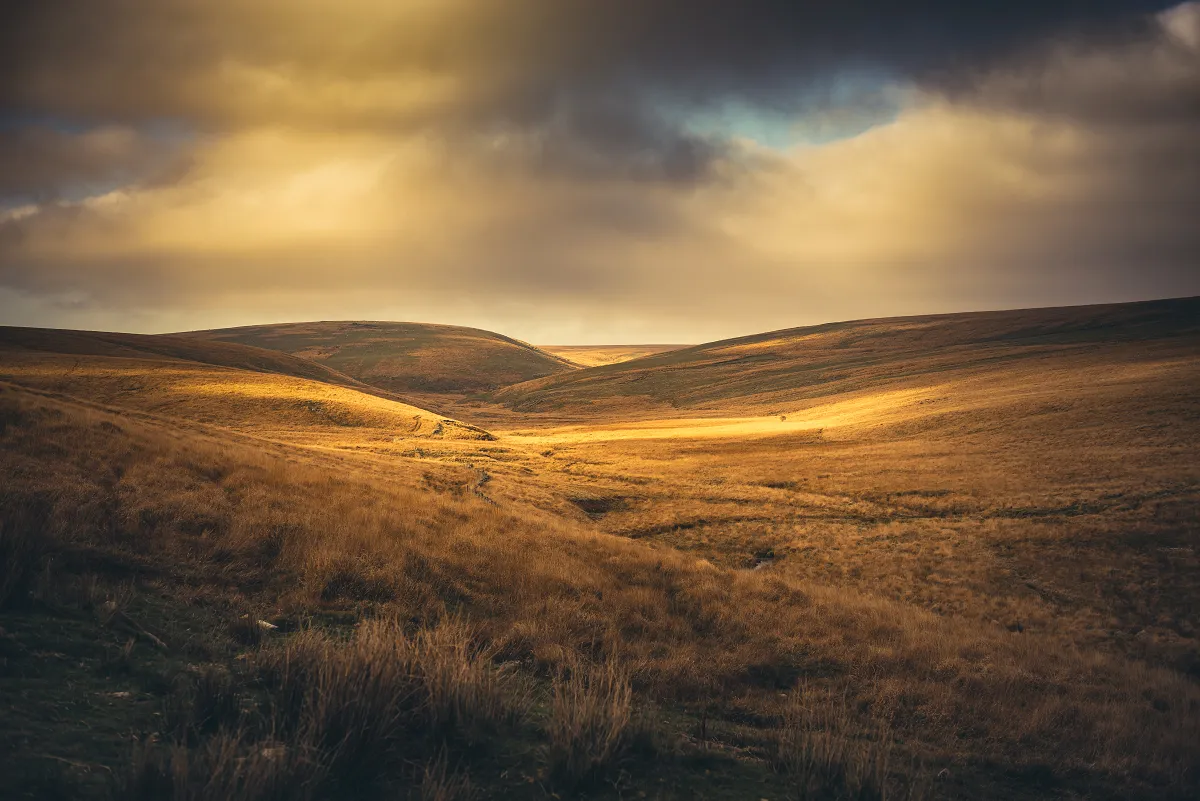
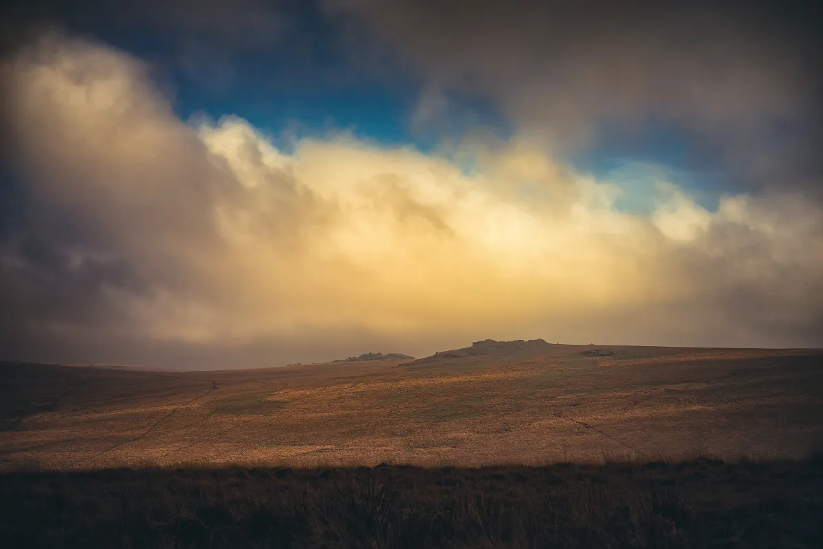
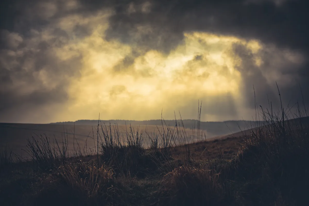
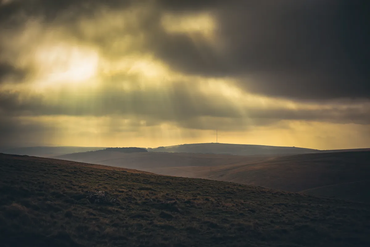
On returning to the main cluster we were greeted by the most magnificent display of light from the South East. Looking over the valley above Wistman's Wood, Longaford, Littaford and Crockern Tors were all looking amazing.
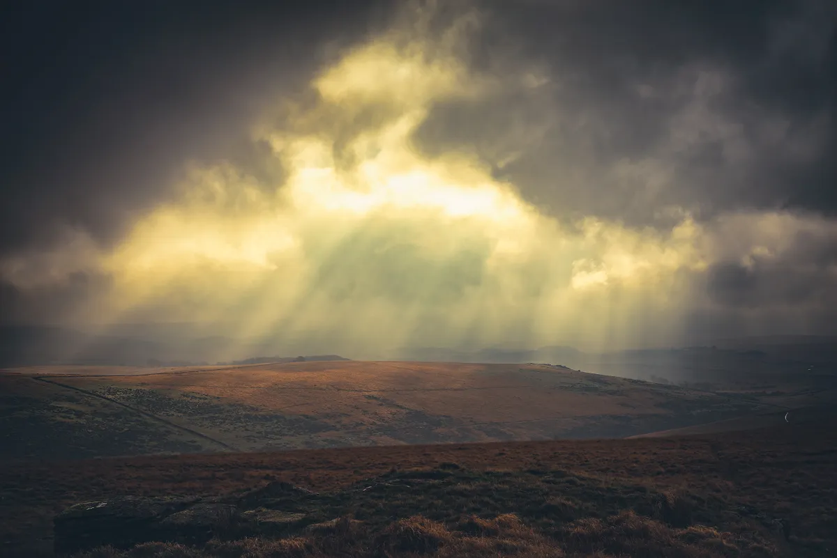
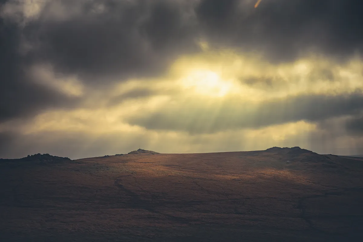
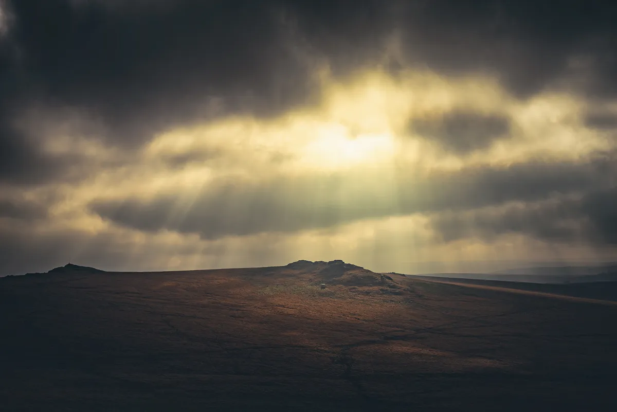
The fantastic light meant we spent a little more time than was originally planned pottering around the Beardown Tors, but it did mean spotting what looks like a rock basin on one of the outcrops.
Methern Hill and Lydford Tor
Took a winding route towards Lydford Tor (so I could grab more great cloud photographs).
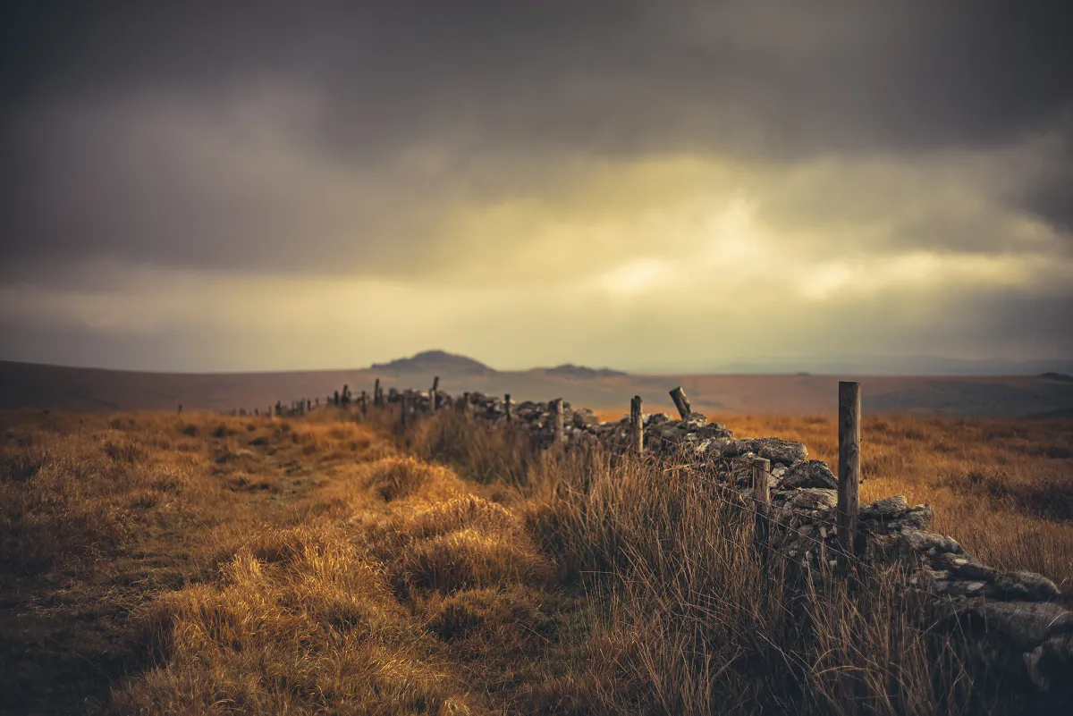
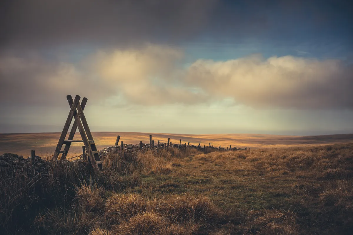
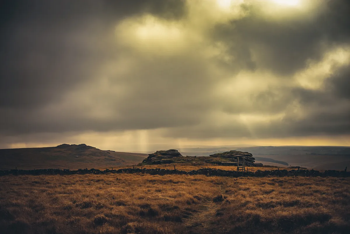
Stopped for a short snack and then climbed the stile and proceeded across that annoying boggy bit on Methern Hill (making sure to see; but not too closely; the Methern Hill Pool!).
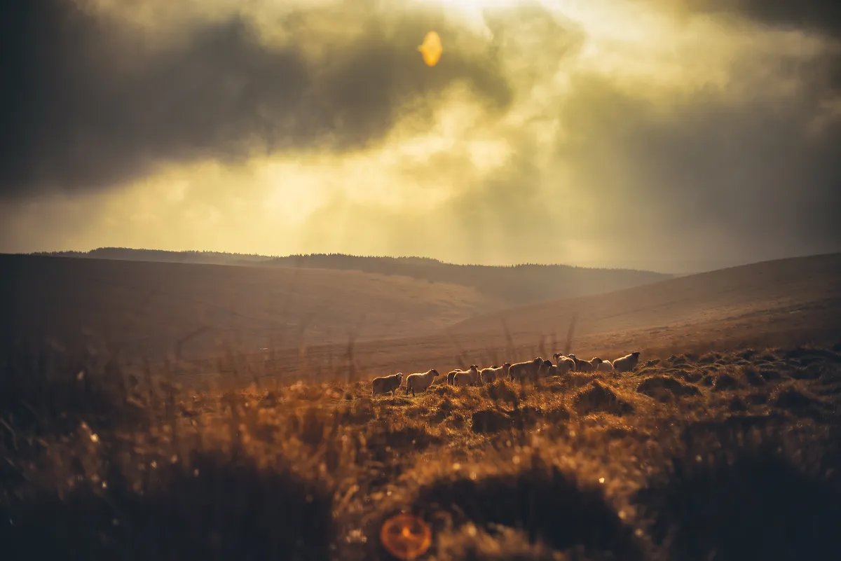
Devil's Tor Outcrop and the ponies
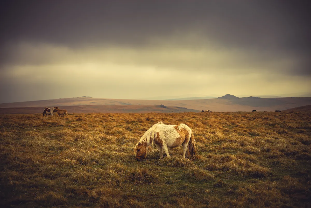
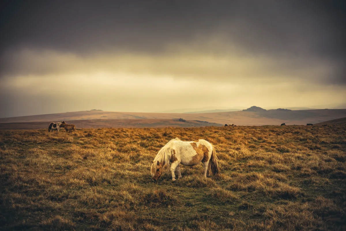
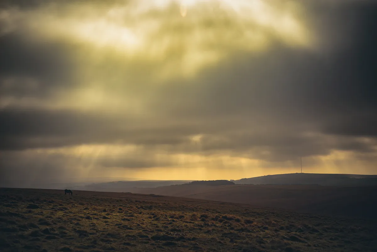
As we passed the worst of the soggy stuff we approached Devil's Tor Outcrop and came across a group of Dartmoor Ponies who were completely oblivious to our presence, before heading over to Devil's Tor (proper). Whilst my partner looked for the Letterbox there I grabbed several hundred photos of the menhir (and a short video of the top, using a monopod) so I could stitch them together later to build a 3d Model of the stone.
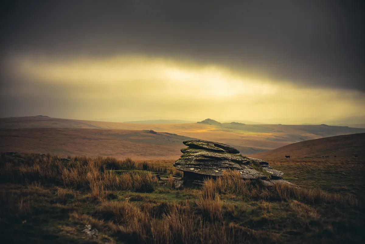
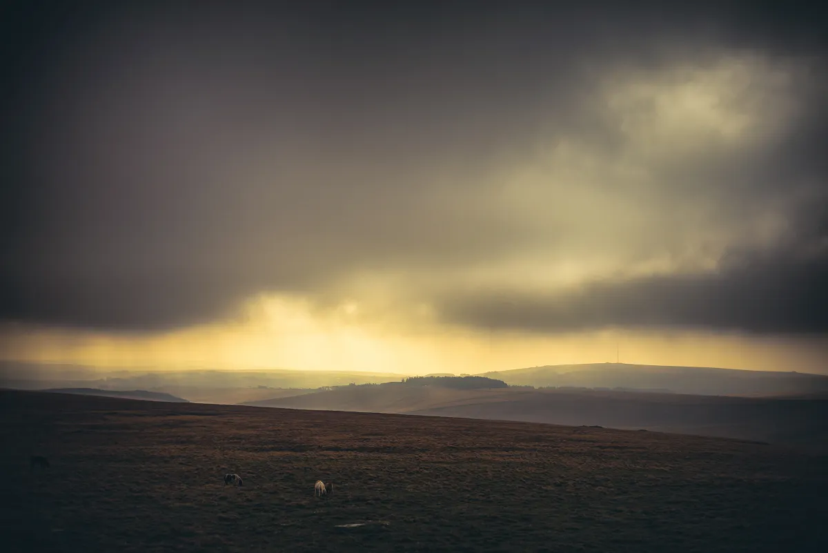
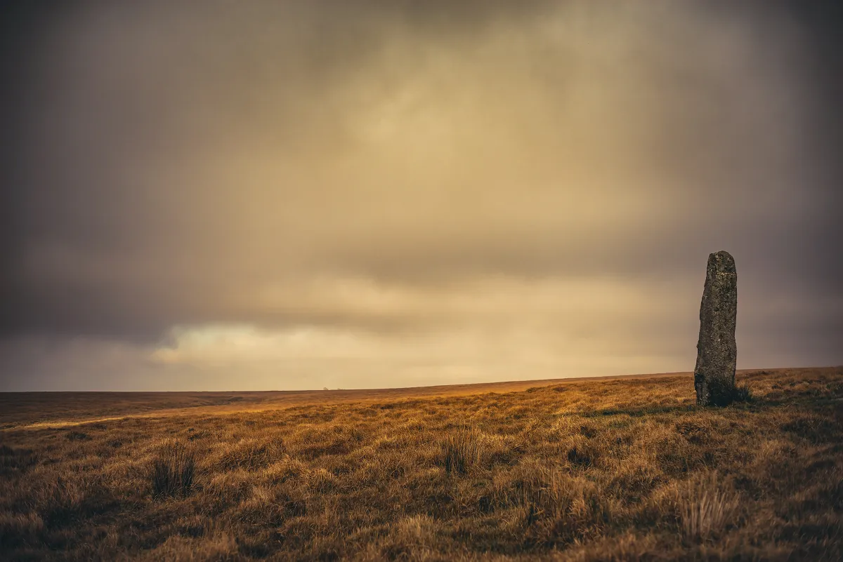
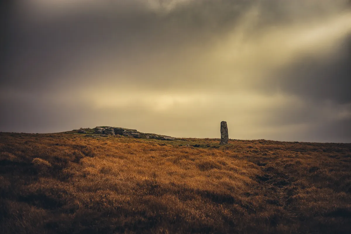
Beardown Man Menhir
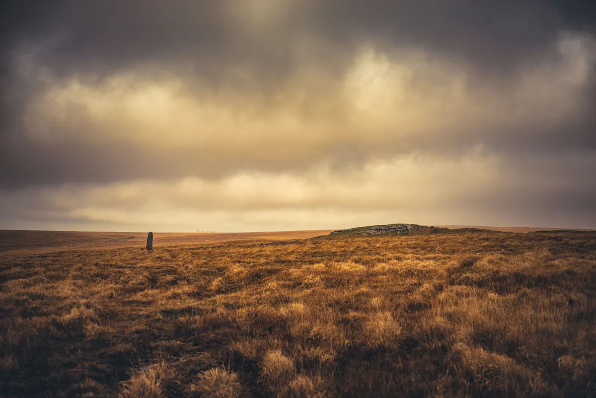
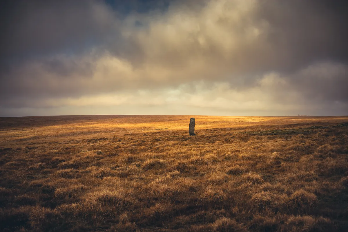
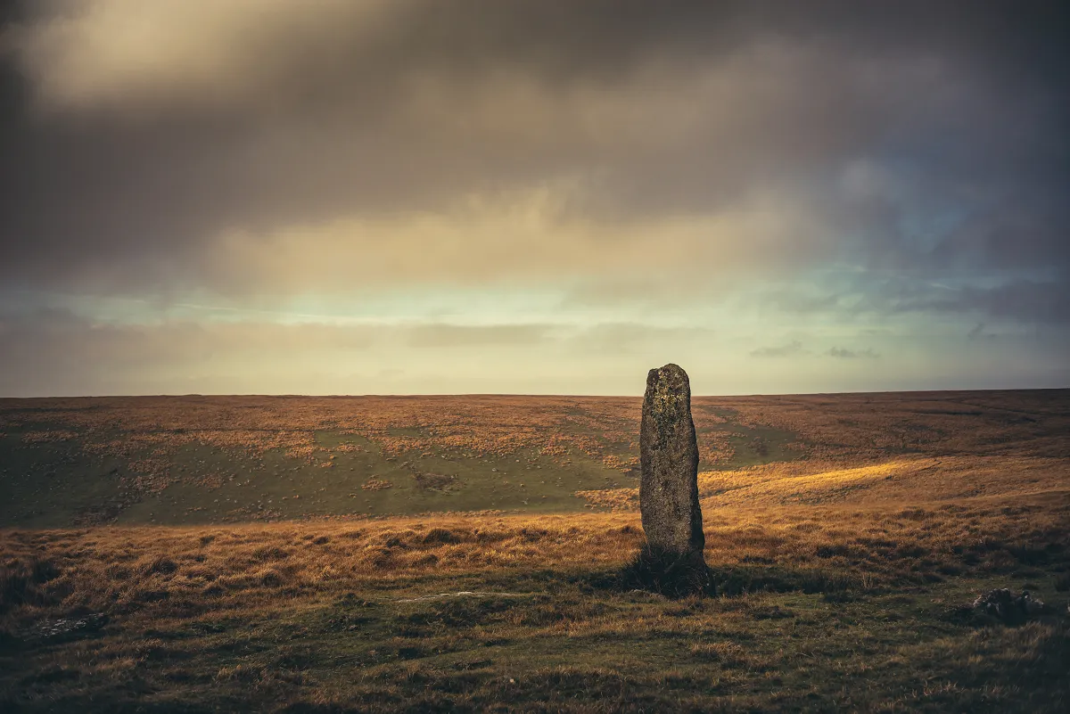
I also used my "real" to take rather too many shots of the menhir itself. The last time we visited (in fact the last two times I'd visited) the weather wasn't great and the stone hadn't "spoken to me" 😂
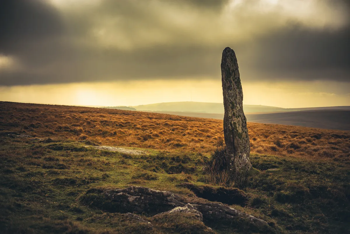
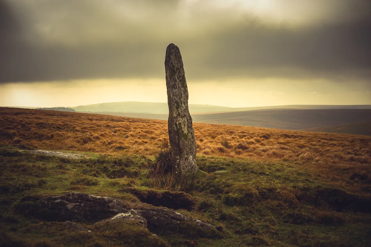
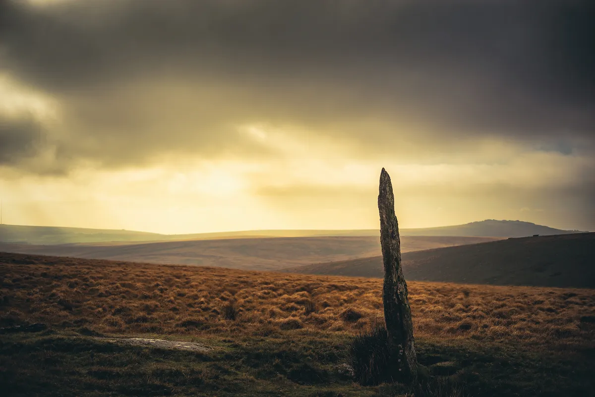
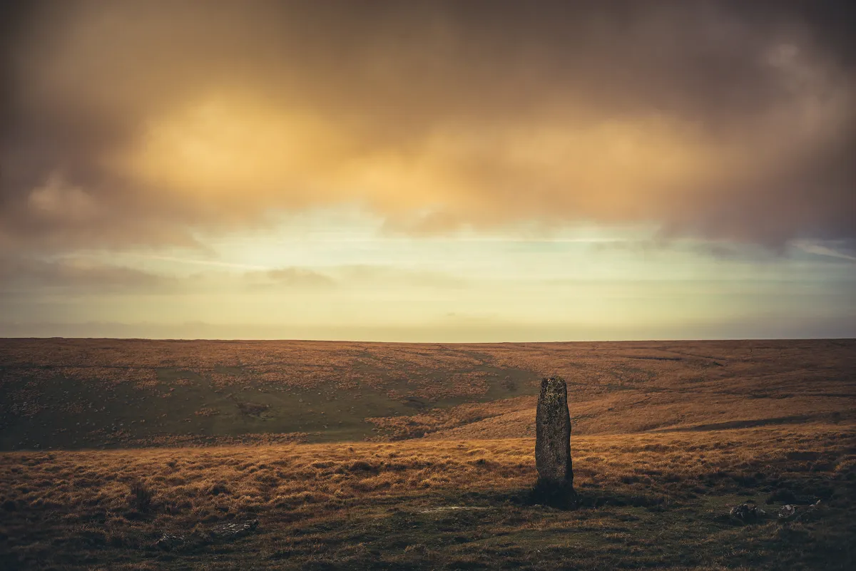
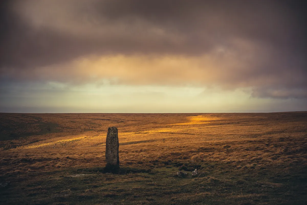
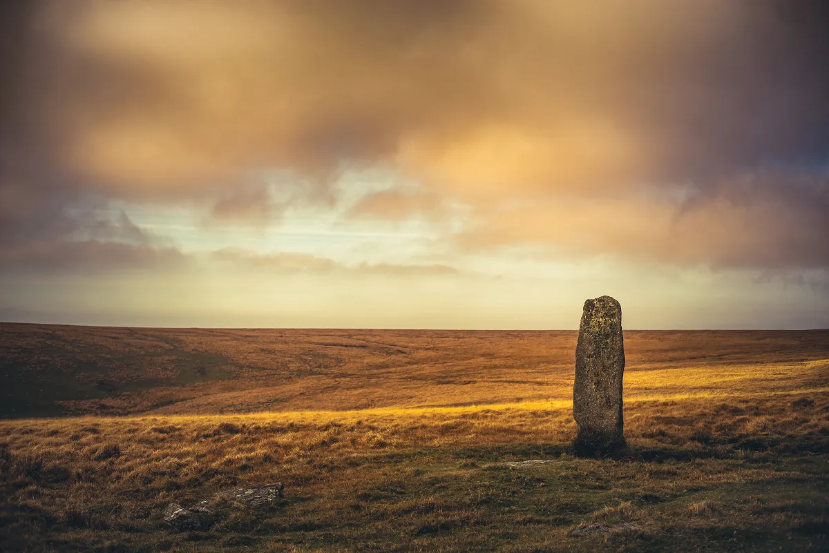
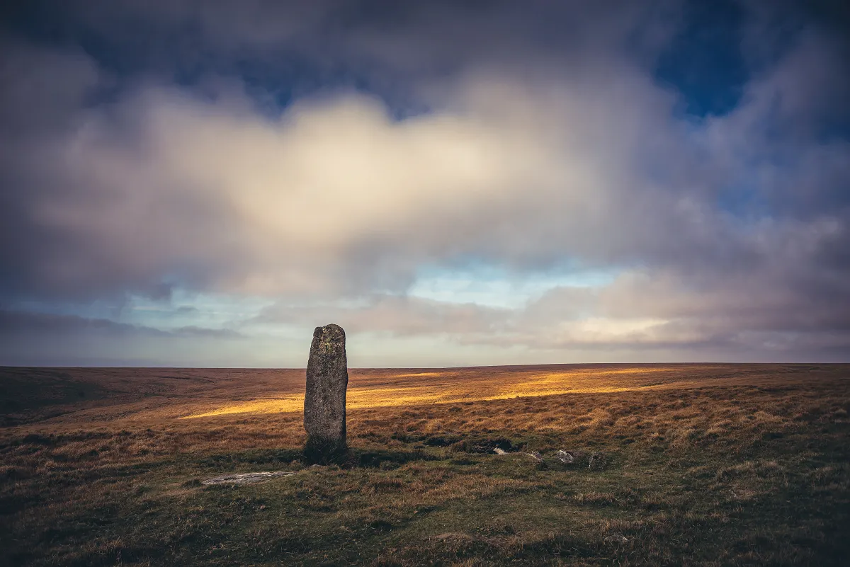
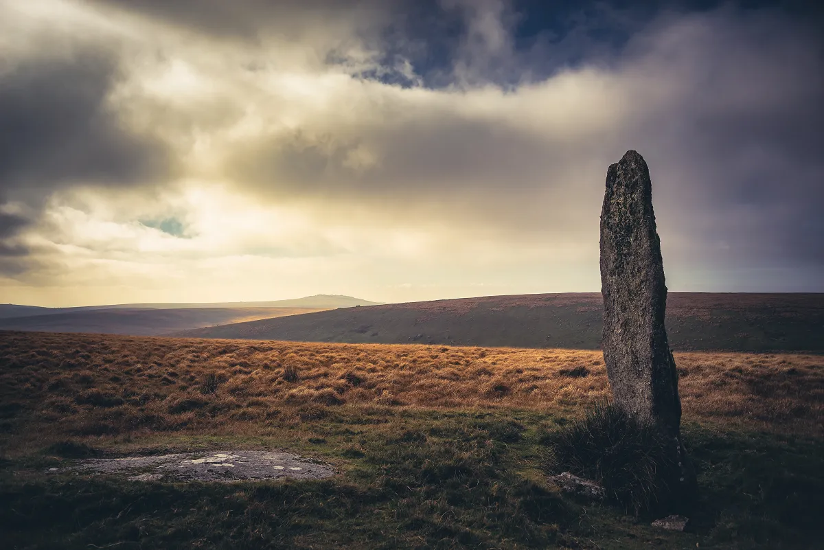
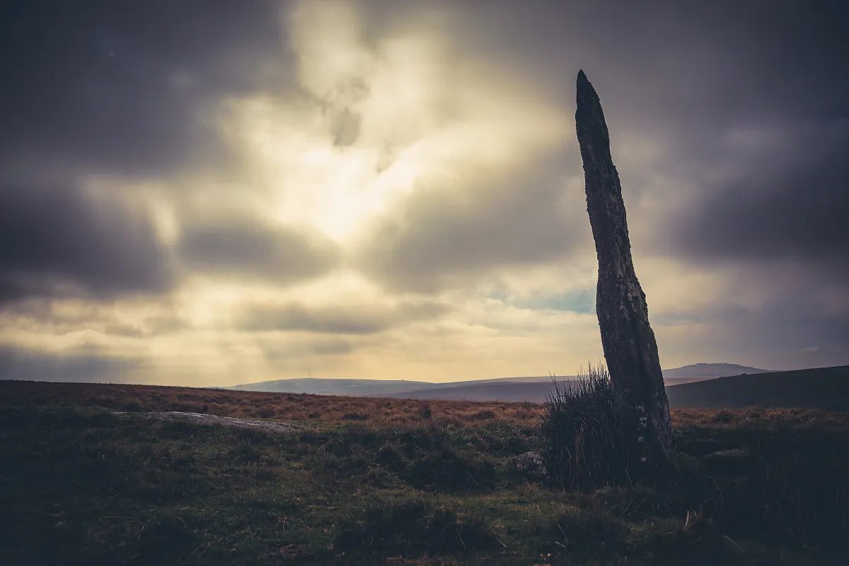
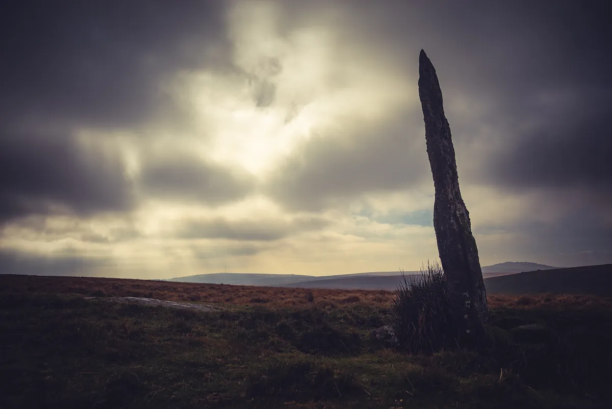
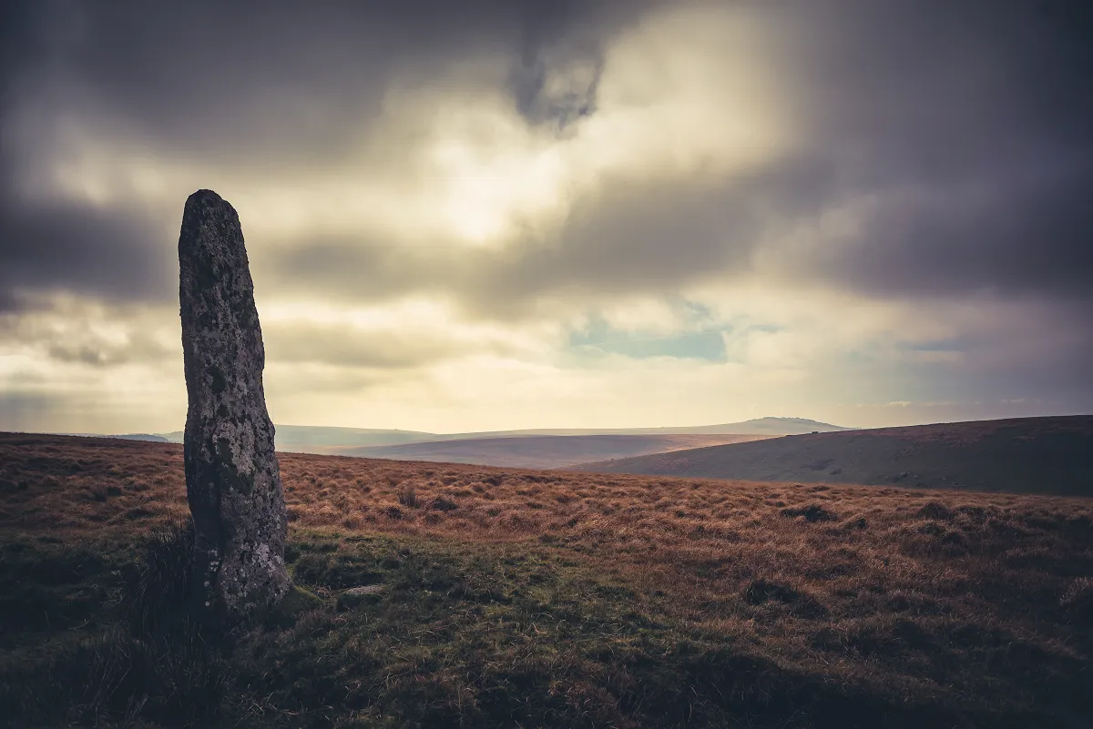
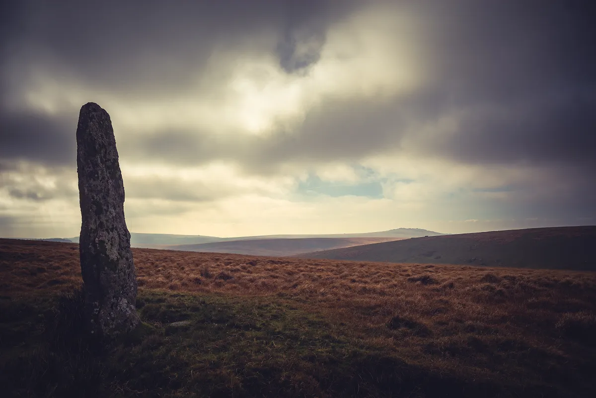
We took a few minutes to try and find the cairn that's to the South West of the Menhir, but found nothing apart from a small bump and a few stones, so that's an investigation to return to eventually.
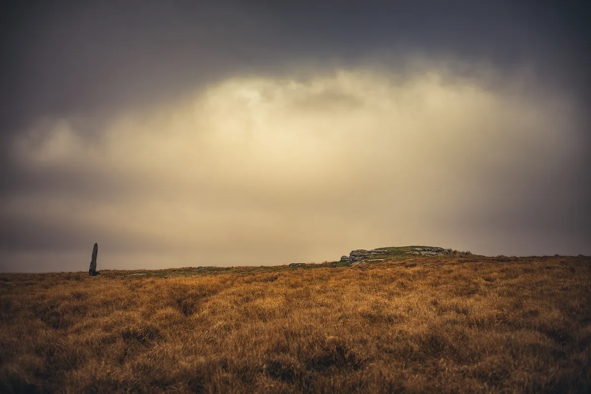
Hut circles below Conies Down Tor
The last time I did this trip with my partner, we'd done it the other way around (a clockwise loop passing over Conies Down Tor) - this time I'd spotted several hut circles on the maps lying below Conies Down Tor in the valley to the East and fancied seeing if they were visible.
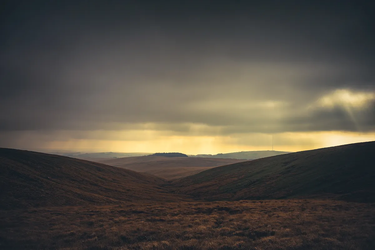
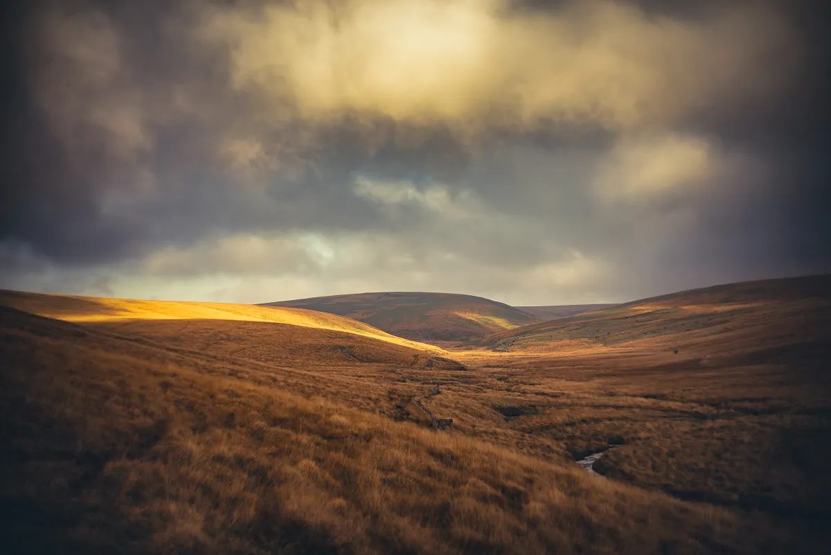
We looped around the contour to come close to Cowsic Head and then slowly made our way into the valley on the Conies Down side. Looking into the valley, it looked rather damp and if you decide to head too far down, don't blame me if yuo get wet feet!
I'd only half heartedly expected to find proper observable hut circles and the first few couldn't disappoint 😂 Checking on the OS app either the app was wrong, the archaeologists were a bit out or I'm not great at spotting historical remains (my money is on the last one) - anyway there were rocks, but I couldn't see anything clearly. I made a mental note to check the Lidar maps when I returned, then as we moved forward a little we spotted a distinct hut circle and either the edge of an enclosure or part of an old reave. So the visit was not in vain.
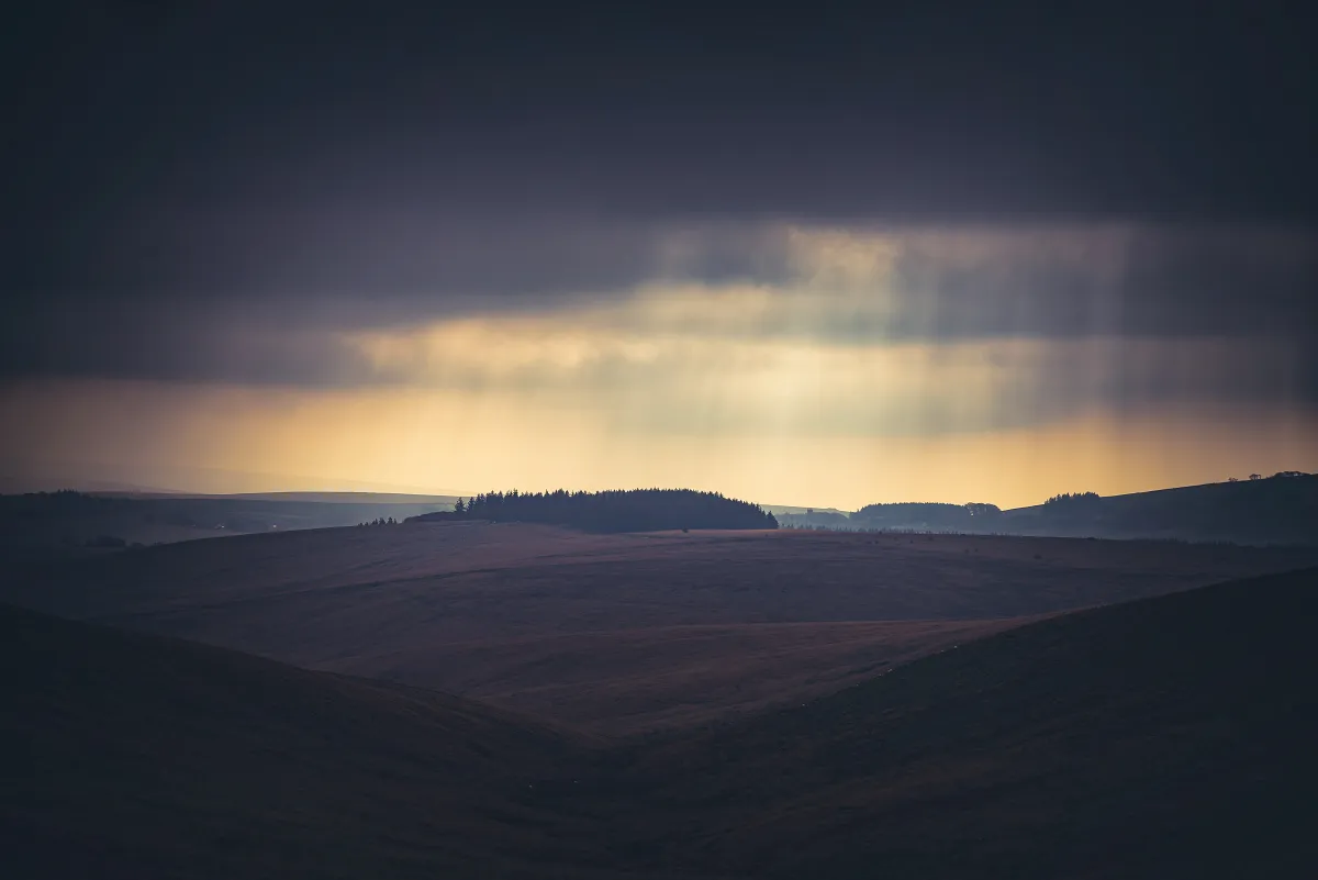
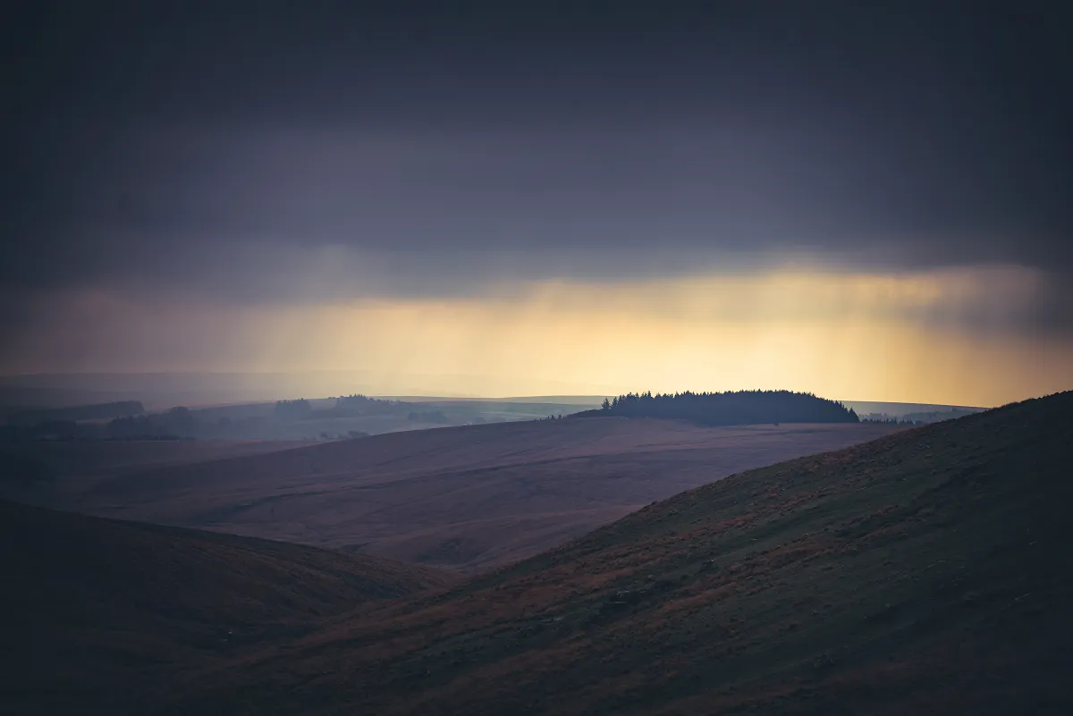
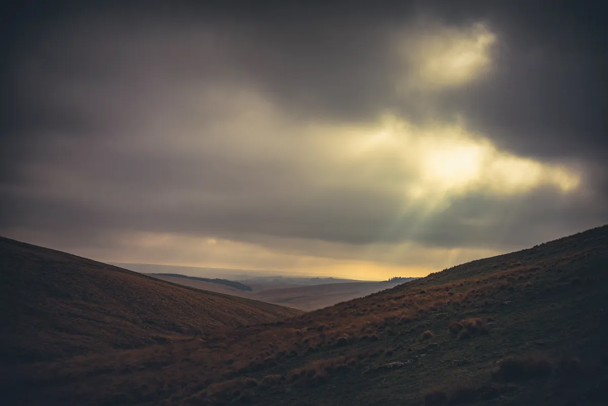
The map clearly shows a settlement closer to Broad Hole and we did climb down to investigate, again I can only assume my inadequate archaeology training is the reason I didn't really spot anything 🤣 It does look like the sides of the valley might have been cut away to make a plateau and I'll trust the map makers on this one, but definitely somewhere that requires further investigation on our next trip.
Travellers' Ford and Beardown Newtake
Crossed over the Cowsic close to Travellers' Ford and then made our way to the gate into Beardown Newtake.
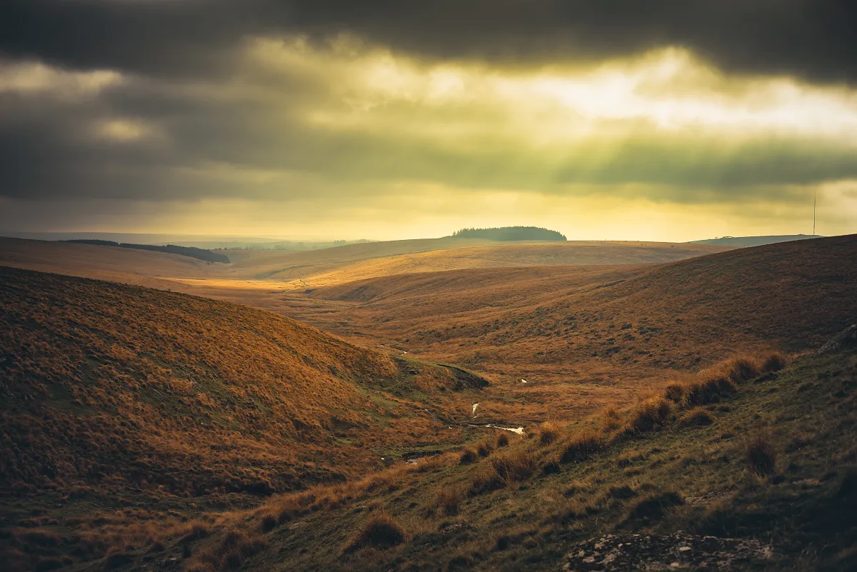
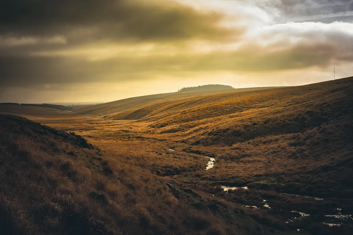
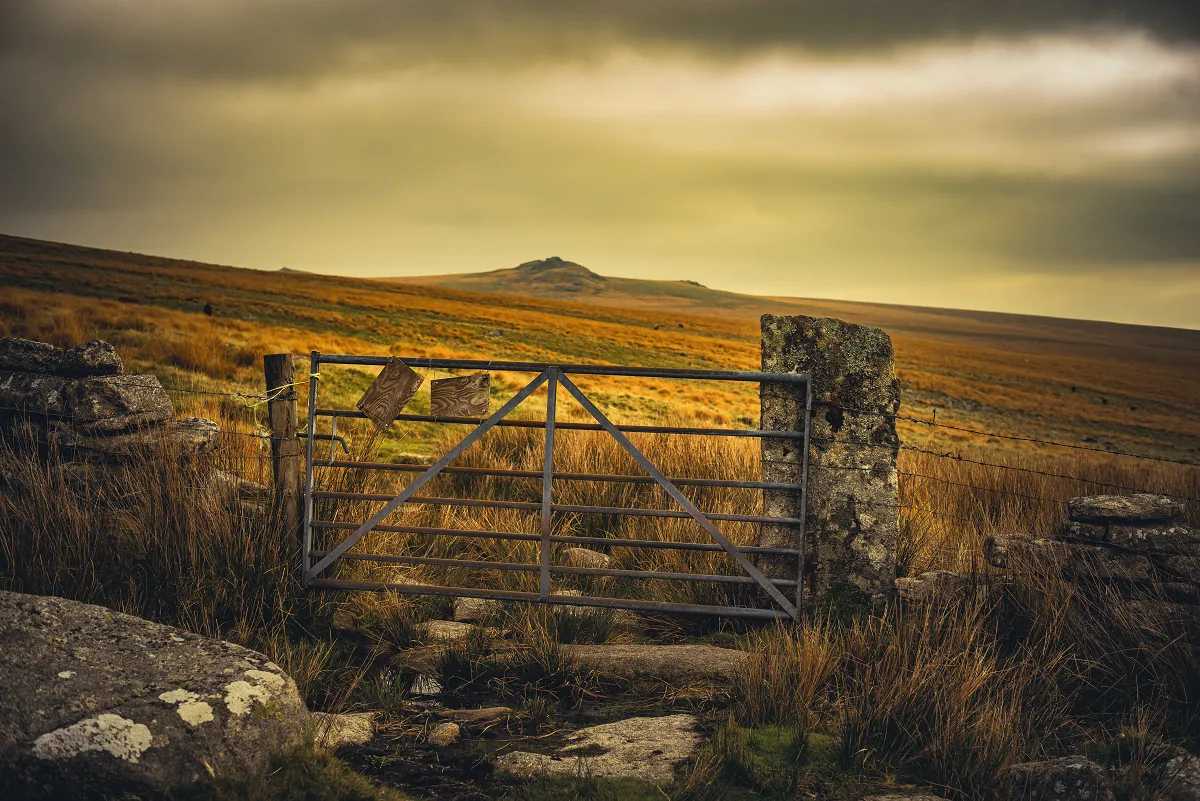
First time I'd walked back this way and the footing was pretty good. I'm guessing if there's been heavy rainfall or it's much later in the year, the very flat bit we walked would be drenched, and walking slightly higher up the edge of Beardown would save you some discomfort!
The lone willow and back to Holming Beam
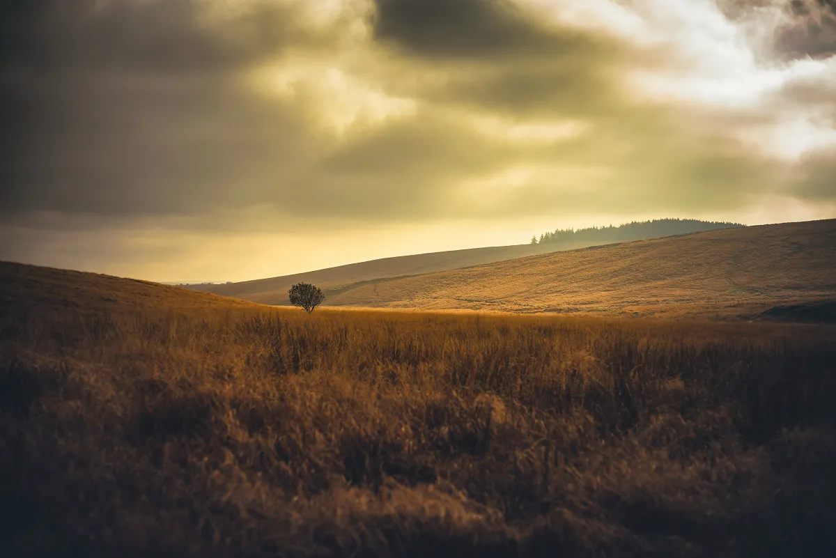
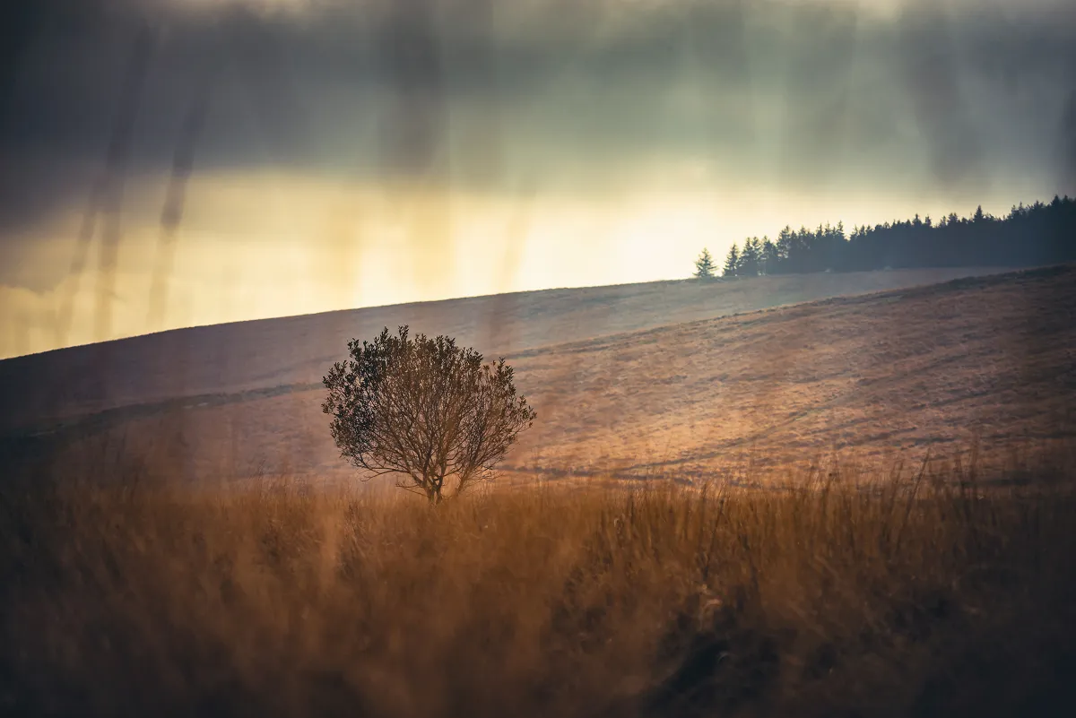
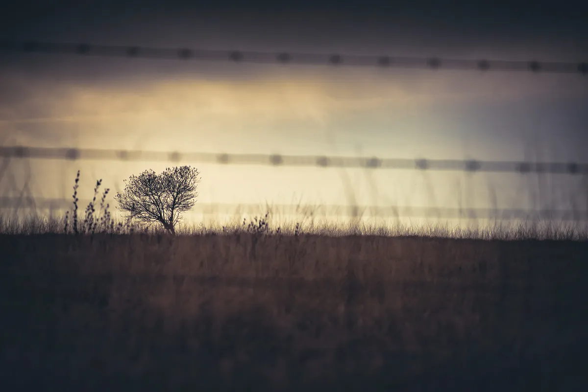
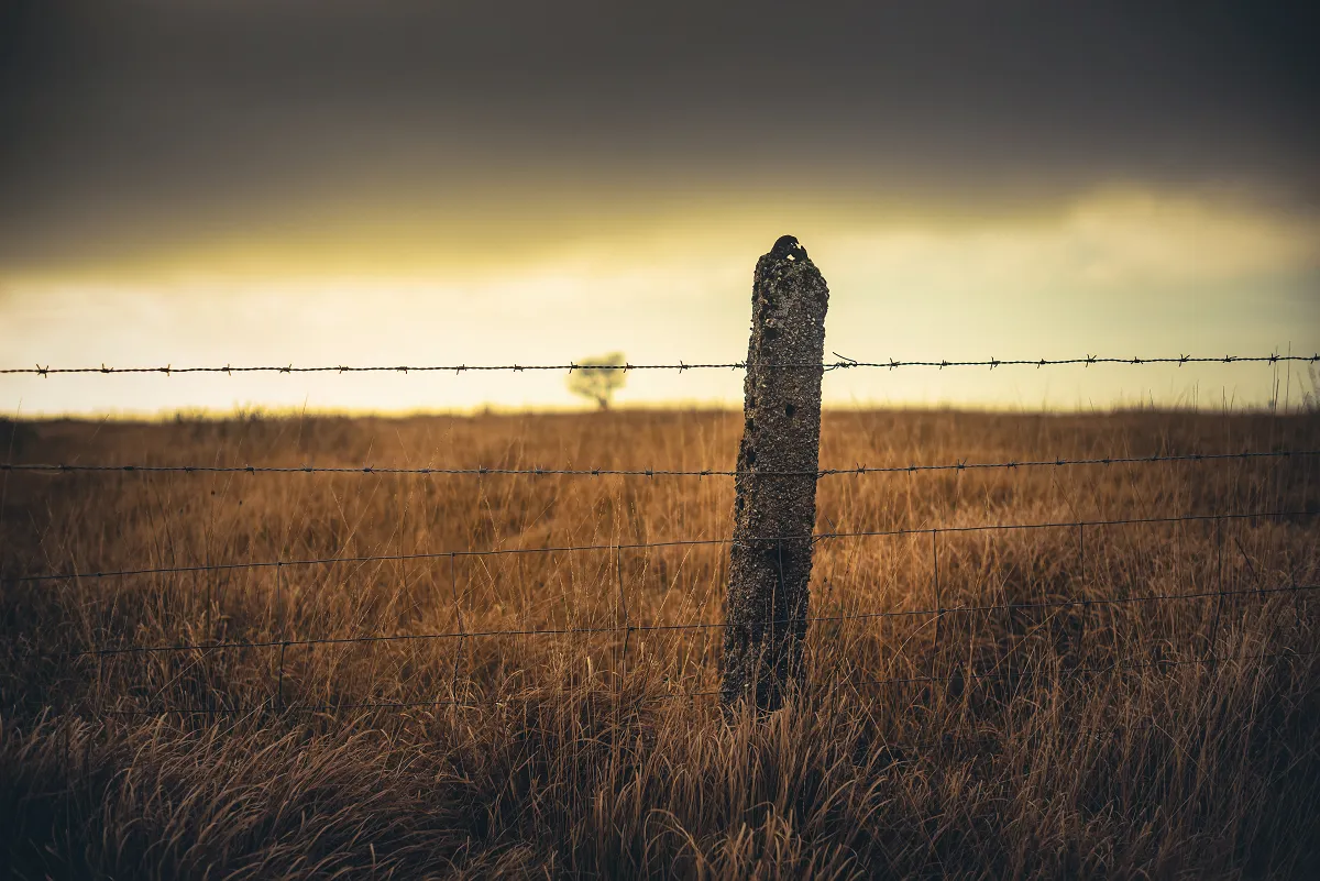
As it was flat, a quick walk, stopping only to take photos of the lone Willow and then back to the footbridge and a climb back to the car.